Mean-curvature watersheds: A simple method for segmentation of a digital elevation model into terrain units
Journal article
Permanent lenke
http://hdl.handle.net/11250/95694Utgivelsesdato
2012Metadata
Vis full innførselSamlinger
- Journal articles [478]
Sammendrag
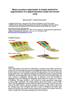
Terrain segmentation is the process of subdividing a continuous terrain surface into discrete terrain units. If the resulting units represent meaningful geomorphic objects the approach may facilitate studies of not only landforms and land forming processes, but also the interaction among surface form, soil, vegetation, hydrology and topoclimatic regimes. Commonly used methods for terrain segmentation fail to produce terrain units with a potentially large, but cyclic variation in topographic attributes, such as uniformly curved areas bounded by topographic break-lines, although this topographic characterisation is common for a number of landforms. This paper describes a new method for terrain segmentation using mean-curvature (MEC) watersheds. The method produces objects that contain a cycle of MEC values. Thus the topographic variation within each object may be large, but due to the cyclic nature of the MEC variation a geometric simplicity is ensured. In a case study we show how the resulting terrain units correspond well with a number of landforms and surface types observed in the field, and conclude that the method can be expected to be of great value for a number of applications within geomorphology and related disciplines.
